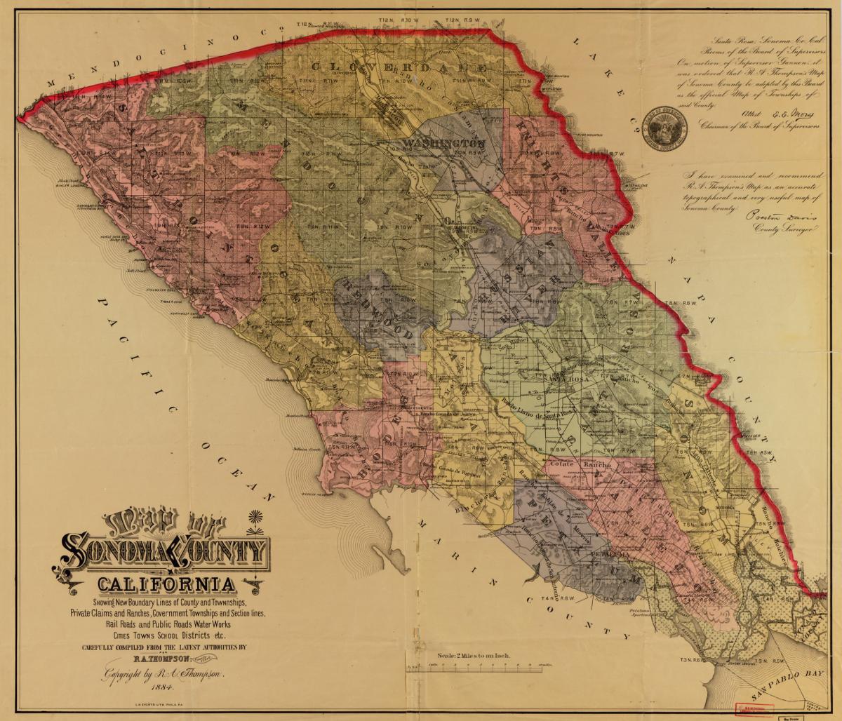
From the map room — a look at how the valley was drawn in another age, courtesy of the Library of Congress.
Map of Sonoma County, California : showing new boundary lines of county and townships, private claims and ranches, government townships and section lines, rail roads and public roads, water works, cities, towns, school districts, etc. Map: Library of Congress. See the original →